Teaching and learning with time and space
Locus Tempus is a powerful application designed to facilitate map-based learning activities across disciplines. Locus Tempus features tools for authoring maps, inviting collaborators, and analyzing data spatially and temporally.
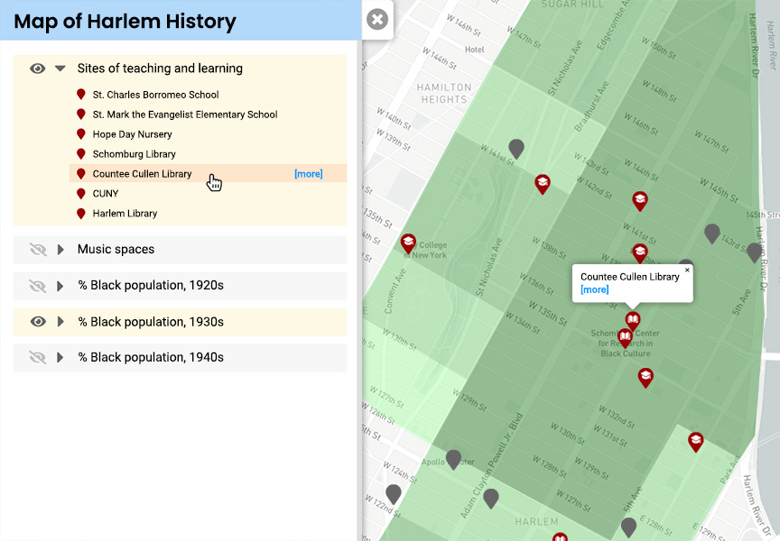
Visualize geospatial data
Cultivate spatial reasoning by using map layers to visualize geospatial events from different sources. Layers allow you to explore interdisciplinary concepts and procedures by charting data in ways that are meaningful to your inquiry.
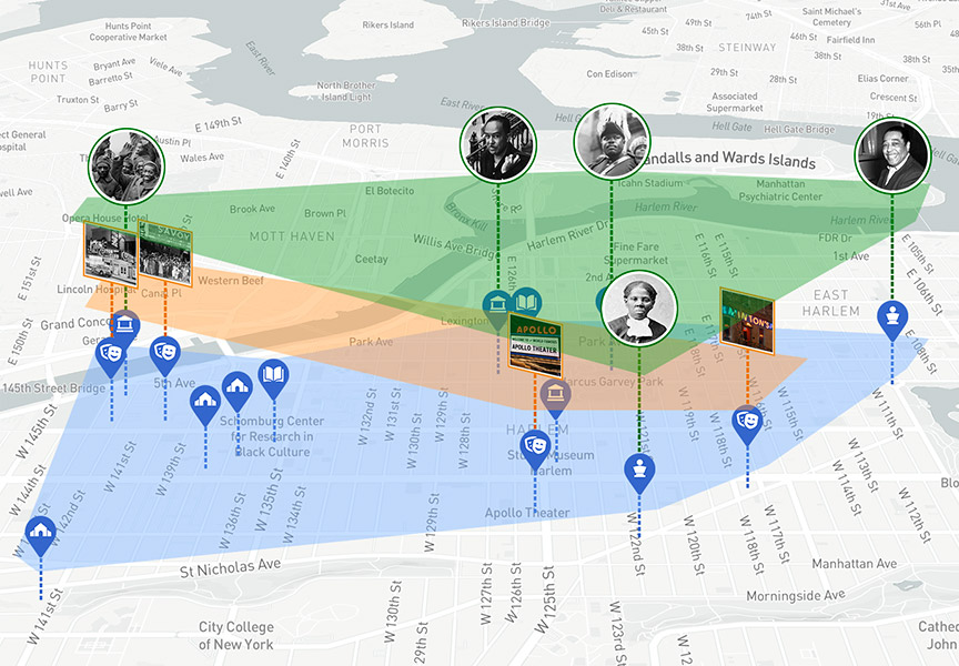
Analyze patterns and trends
Tag, connect, and categorize events and layers to compare, contrast and examine patterns, trends and relationships in your data. Locus Tempus allows you to further explore your questions, make decisions and represent your data in compelling ways.
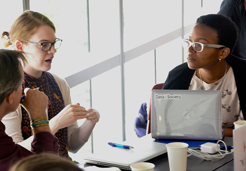
Foster collaborative learning
Share your map and allow others to contribute to your visualization and analysis. For higher education, Locus Tempus may be integrated into any content management system providing faculty a streamlined process for authoring maps and inviting student contributors.
Partner with us
If you’re interested in implementing this tool in your teaching practice, or to learn more about Locus Tempus, please reach out to the CTL project team that is developing Locus Tempus.